
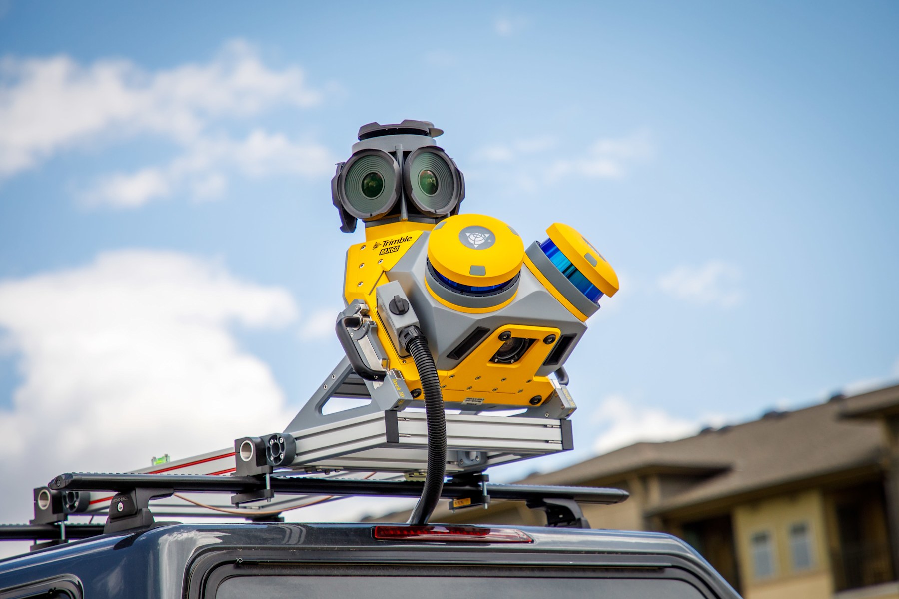
Trimble MX60
Road and corridor mapping
Geometric capture at driving speed — national and urban routes with minimal traffic disruption.
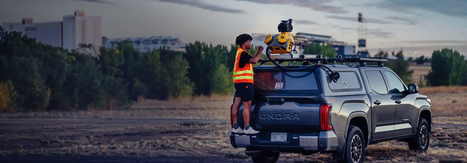
NAVTECH ENGINEERING
Scan-to-BIM, road mapping without stopping traffic, indoor mapping of live buildings, underground detection, GIS, digital twins and deformation monitoring — for highways, rail, real estate, hotels, hospitals, high-tech and industry.
0+
Years of experience
0+
Construction survey projects
0+
3D scanning projects
0+
BIM projects
0+
Utility detection projects
0
GIS projects
0 mm
Scanning accuracy
Who we are
NAVTECH Engineering is an engineering and technology company specializing in advanced surveying, mapping and modeling solutions for construction, infrastructure, transportation and industry.
We combine precision engineering, advanced scanning technology and deep field expertise to transform physical reality into accurate, intelligent and accessible digital information. The company is led by Marzouk Harzallah, licensed surveyor and geodetic engineer, with a team of certified surveyors and civil engineers.
NAVTECH delivers complex projects across railways, highways, national infrastructure, public buildings, commercial centers, industrial plants and hospitals.
Capabilities
Seven core capabilities — from field reality to the model that runs the asset, including deformation monitoring.
Reality Capture
Full scanning of buildings, plants and sites with high-resolution 360° panoramic imagery. Precise documentation for design, preservation and control.
Building Information Modeling
Converting scan data into intelligent 3D models for lifecycle management, design and multi-discipline coordination.
Geographic Information Systems
Spatial analysis and management of geographic data. Mapping, information layers and planning analysis for informed decisions.
Engineering & Geodetic Surveying
Construction surveying, engineering supervision, As-Made surveys, land and subdivision surveys — with the most accurate equipment and a certified team.
Digital Twins & 3D Modeling
An accurate digital replica of buildings and infrastructure for monitoring, simulation and smart long-term management.
GPR Utility Mapping
Locating and marking pipes, cables and existing utilities without excavation, before design and construction, across many kilometers.
Automated movement detection
Continuous tracking of movement on bridges, dams, tunnels, rail and sensitive buildings — measurement, analysis and timely alerts.
Our method
Every project starts with a deep conversation. We research the problem, understand the real need, and only then design the survey — no more, no less.
An in-depth session with the client to understand the real challenge — what is needed, why, and how the data will be used.
We select the exact technology, equipment and survey method for the specific need — a solution built to fit.
A clear schedule, ongoing updates and flexibility for change. The client always knows where we stand.
Precise execution with rigorous quality control at every stage. Delivery includes files, models and reports ready for immediate use.
Behind the capability
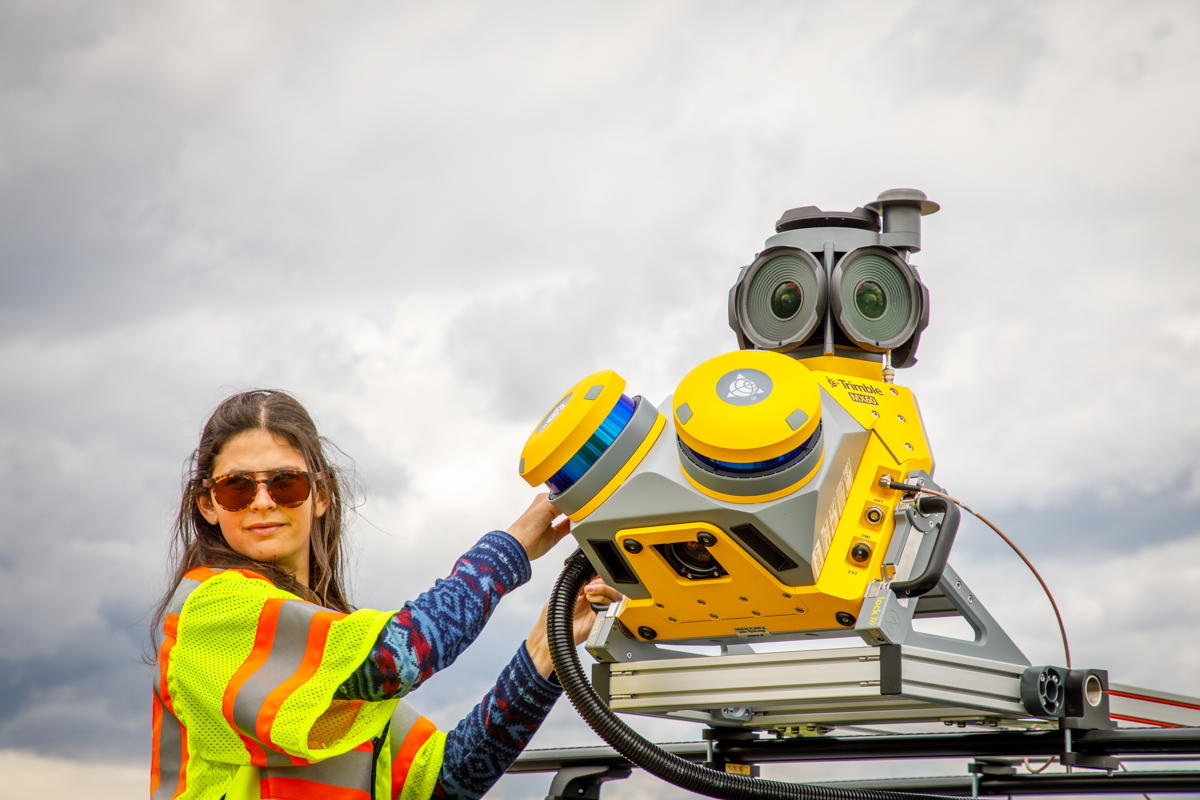
We work with Trimble and NavVis equipment. The gear supports the capability — it does not replace it. We pick the method for the job: corridor, live building, subsurface or monitoring.
Trimble MX60
Geometric capture at driving speed — national and urban routes with minimal traffic disruption.
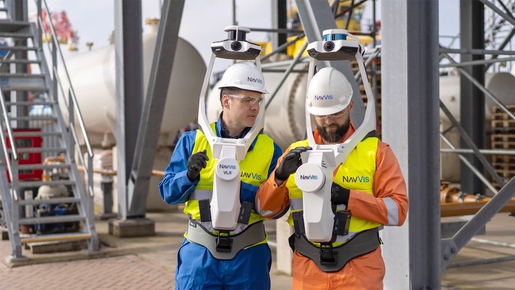
NavVis VLX
Document live buildings and convert them into intelligent models for design, coordination and FM.
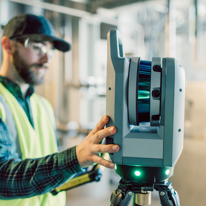
Trimble X9
Stationary scanning for plants, buildings and infrastructure when millimetre-level detail is required.
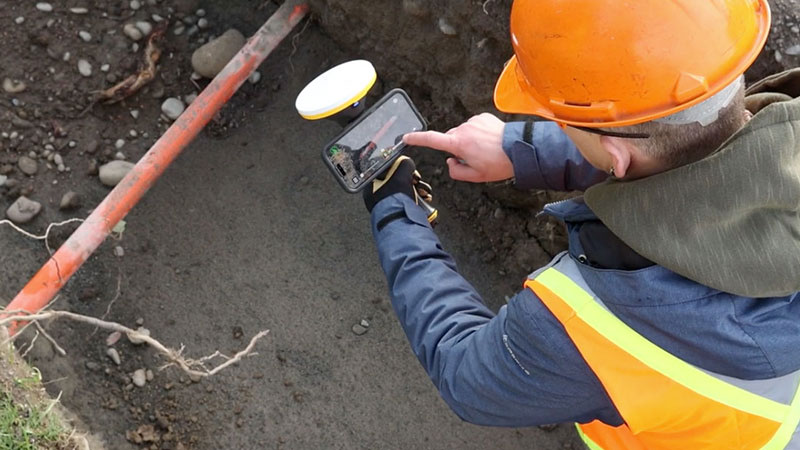
Trimble SiteVision
Map pipes, cables and voids below ground before design and construction.
Equipment photos courtesy of Trimble and NavVis.
Who we serve
Existing-condition surveys for design and renovation
Accurate measurements for engineering design and execution
Ongoing support, control and documentation at every stage
3D scanning and documentation of plants and operational infrastructure
Public projects, heritage preservation and national infrastructure
Mapping traffic corridors, bridges and assets with minimal disruption
Stations, tracks and tunnels — including deformation monitoring
Indoor mapping of live facilities and digital twins for operations
Selected projects
FAQ
Get in touch
Tell us about the challenge — we'll come back with a tailored survey solution, timeline and pricing.